


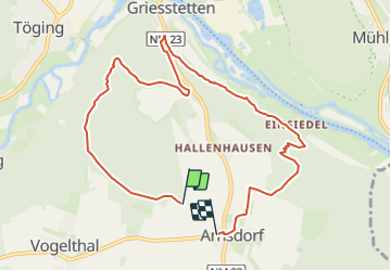

10.8 km | 12.8 km-effort

Tous les sentiers balisés d’Europe GUIDE+


FREE GPS app for hiking
 SityTrail
IGN / Geographical institutes
SityTrail World
The world is yours!
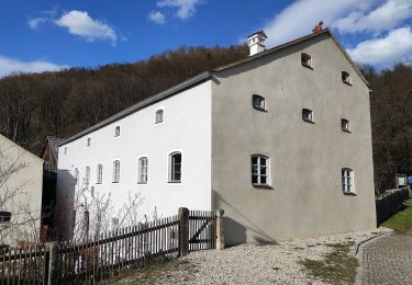
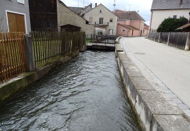
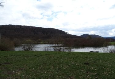
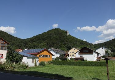
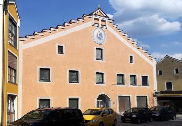
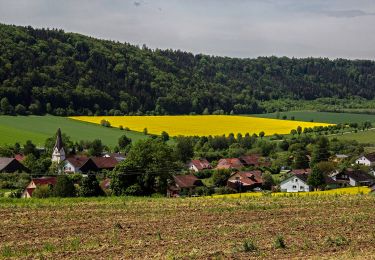
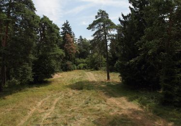
Trail On foot of 8.9 km to be discovered at Bavaria, Landkreis Neumarkt in der Oberpfalz, Dietfurt an der Altmühl. This trail is proposed by SityTrail - itinéraires balisés pédestres.
Trail created by Stadt Dietfurt.
abgeschlossen (Januar 2014, cycling_zno)
Symbol: Grüne 3 auf gelbem Grund


On foot
On foot
On foot
On foot
On foot
On foot
On foot
On foot
On foot